THE ANALYTICS YOUR BUSINESS NEEDS
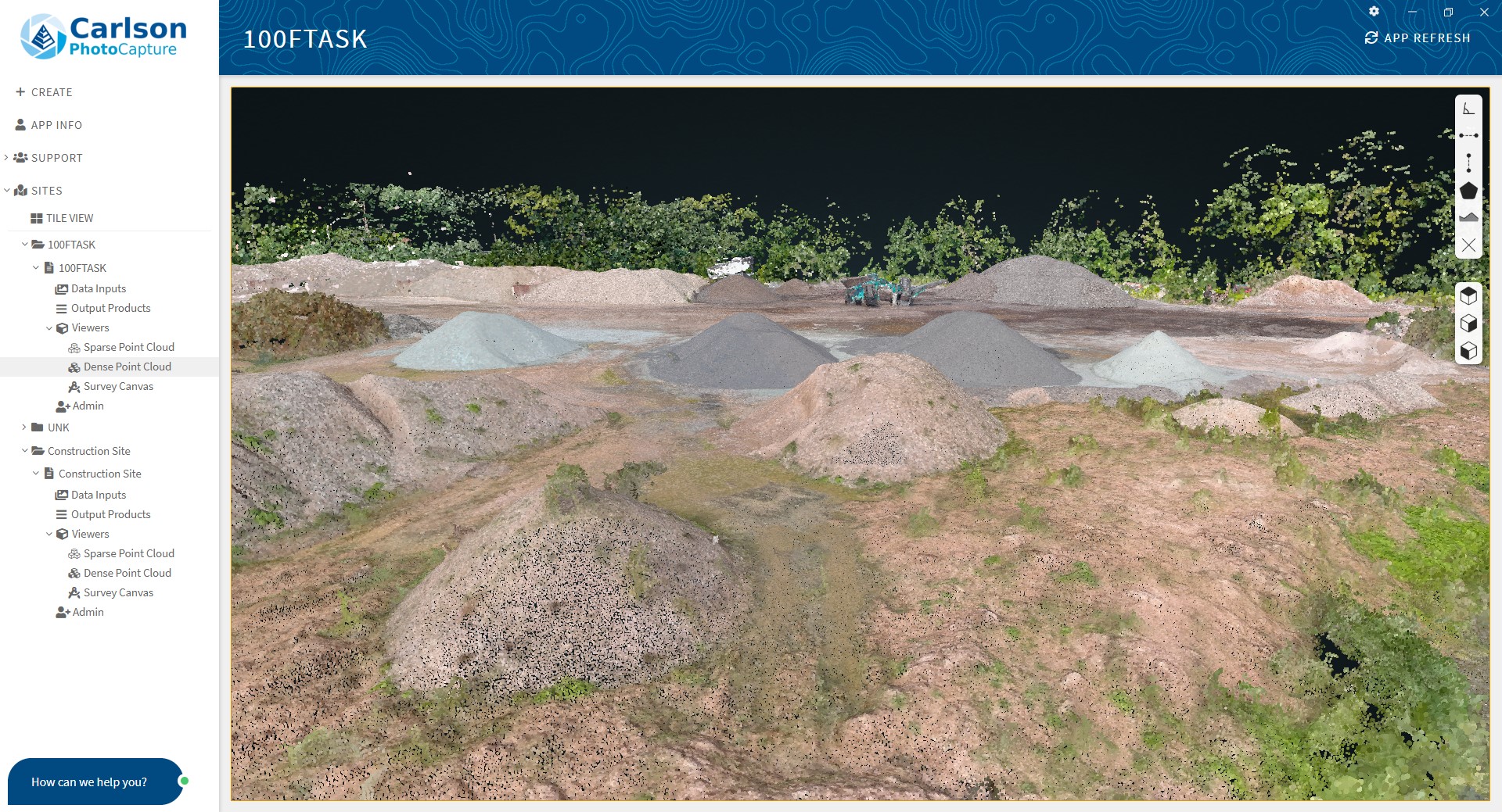
Carlson Photo Capture’s patent-pending image processing algorithms transform your aerial images, whether collected by drone, plane, or satellite, into powerful, accurate business intelligence.
UNPARALLELED ACCURACY
Powered by our simple-to-use GCP Wizard tool, Carlson Photo Capture’s processing can produce LIDAR quality measurements with accuracies as fine as one centimeter using a simple point-and-click interface.
Start using Carlson Photo Capture today. Sign up for a free account in 30 seconds
“Carlson Photo Capture is an easy-to-use, reliable image processing service that reliably provides data products that meet my specific accuracy needs. Carlson Photo Capture has been instrumental in moving our drone program forward.”

– RICK DUTHLER
Duther Land Surveying
“Using Carlson Photo Capture’s cloud-based image processing software, I’m able to process huge datasets with a few clicks of a button. This frees up my desktop and alleviates any need for storage infrastructure. I love it!”

– DR. OMAR MORA
Westland Group INC
“Carlson Photo Capture has found a modernized approach to image processing with a focus on user-experience while still providing high accuracy results.”

– ANDREW ZAYDAK
Yotta Navigation
YOUR DATA IS OUR BUSINESS
Our customers already know what makes Carlson Photo Capture
stand out from the crowd, do you?
Carlson Photo Capture is perfect for
Construction Projects
- Evaluate progress
- Verify Drainage
- Compare Engineering Plans


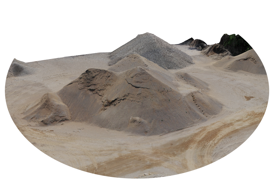
Mining Operations
- Gather precise stockpile volumes
- Detect changes
- Foresee environmental issues
Infrastructure/Utilities
- Identify infrastructure damage
- Model power line sag
- Detect changes against engineering plans

Military/Intelligence
- Raw asset preparation
- Track & identify dynamic targets
- Ready for exploitation intelligence
Start using Carlson Photo Capture today. Sign up for a free account in 30 seconds